
Ancient earthworks
Objective and outcome of the task
This task was to fly over an ancient earthworks feature that provides the most elevation change within a small distance & the densest series of contours locally in an fenland area renowned for its flatness, and to gather survey quality images to be used developing a topographical survey.
The mapping missions were flown as planned and without any technical or operational issues. The 2D maps presented below show some variation in site elevation and in the broad characteristics such as vegetation & feature colours when zoomed out, but most of the differences are only visible when zoomed in.
Mission area general views
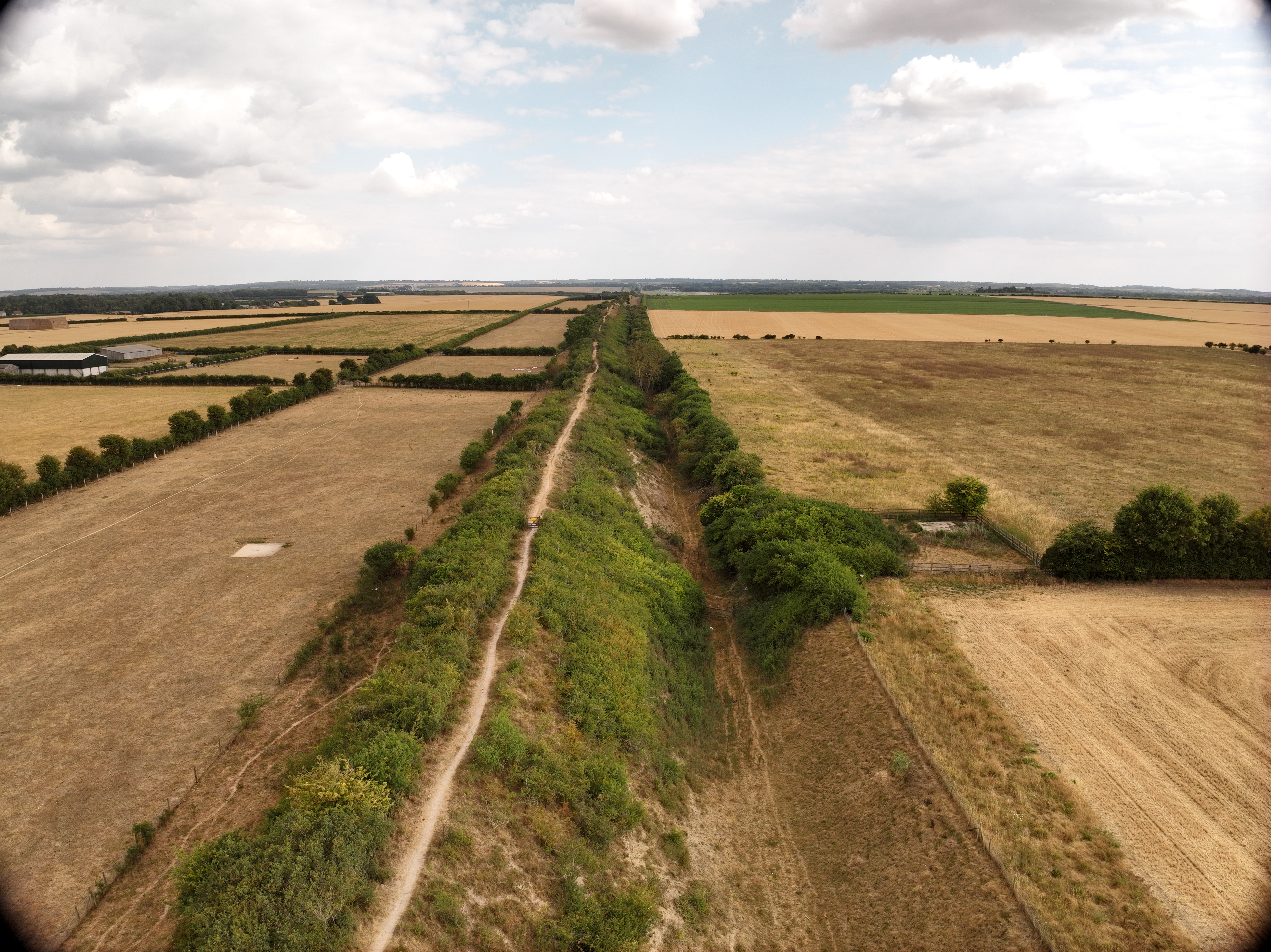
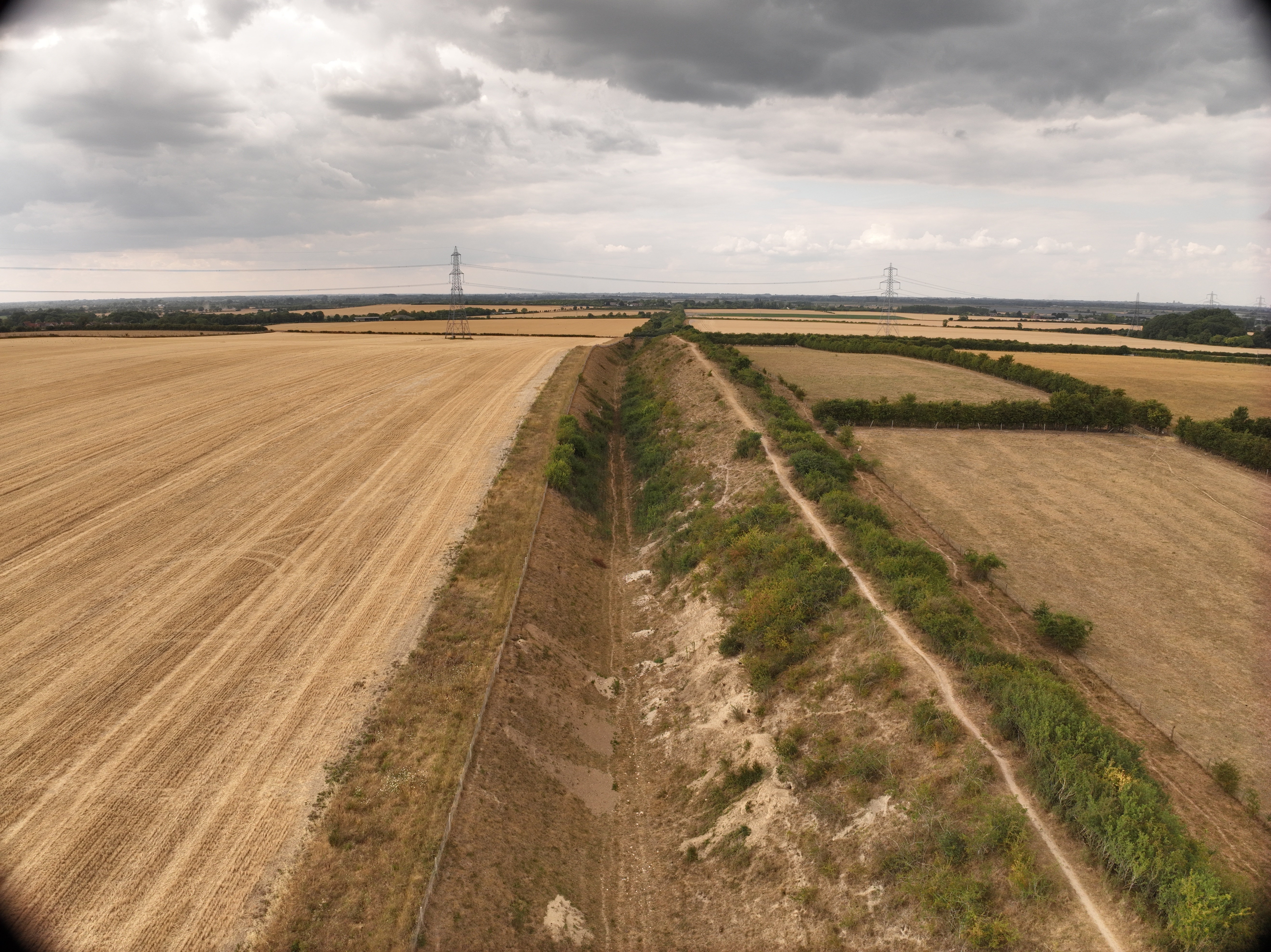
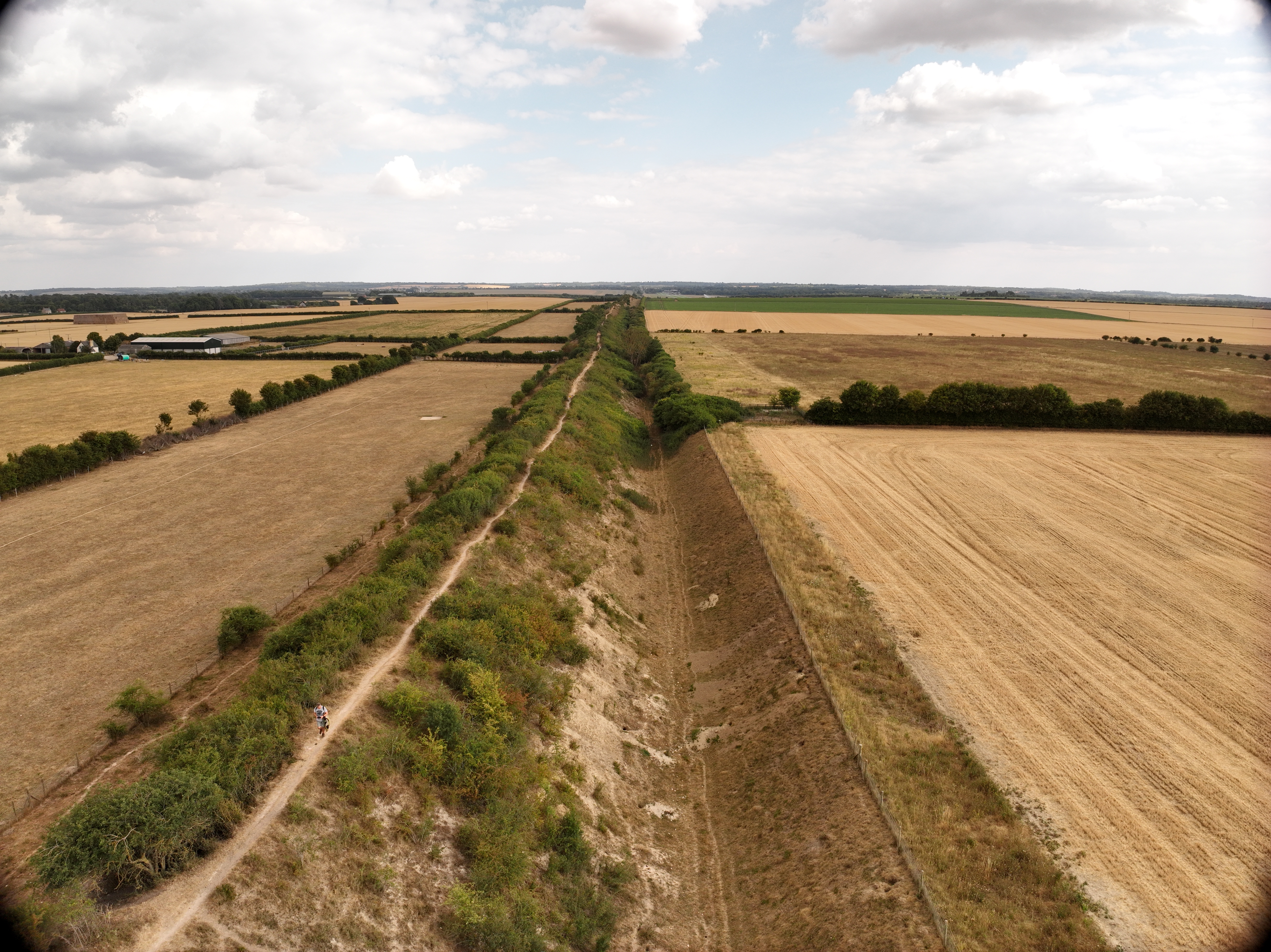
The ortho and oblique missions were flown separately on 2-3 days over two weeks and took 5-6 hours of flying (with multiple battery & memory card changes) to cover 200,000 sqm (20 hectares/49 acres) capturing approx 4,200 photos. The mission area overflown was approx 900m by 220m to ensure that visual line of sight was maintained. The flying was conducted in multiple missions flown in both ortho and oblique camera positions, at several height between 30m & 70m, at several flight speeds between 8m/s & 12m/s depending on height.
Photogrammetry
The raw drone survey images were processed using Reality Capture & QGIS, taking approximatley 16 hours of processing time to create the ortho photo & DTM and an hour on QGIS to create the contour map and 3D model video, and running on a Windows 11 PC with a 32-core Intel Core i9-14900 processor, 64GB of RAM and an Nvidia 4060 GPU.
2D Map outputs
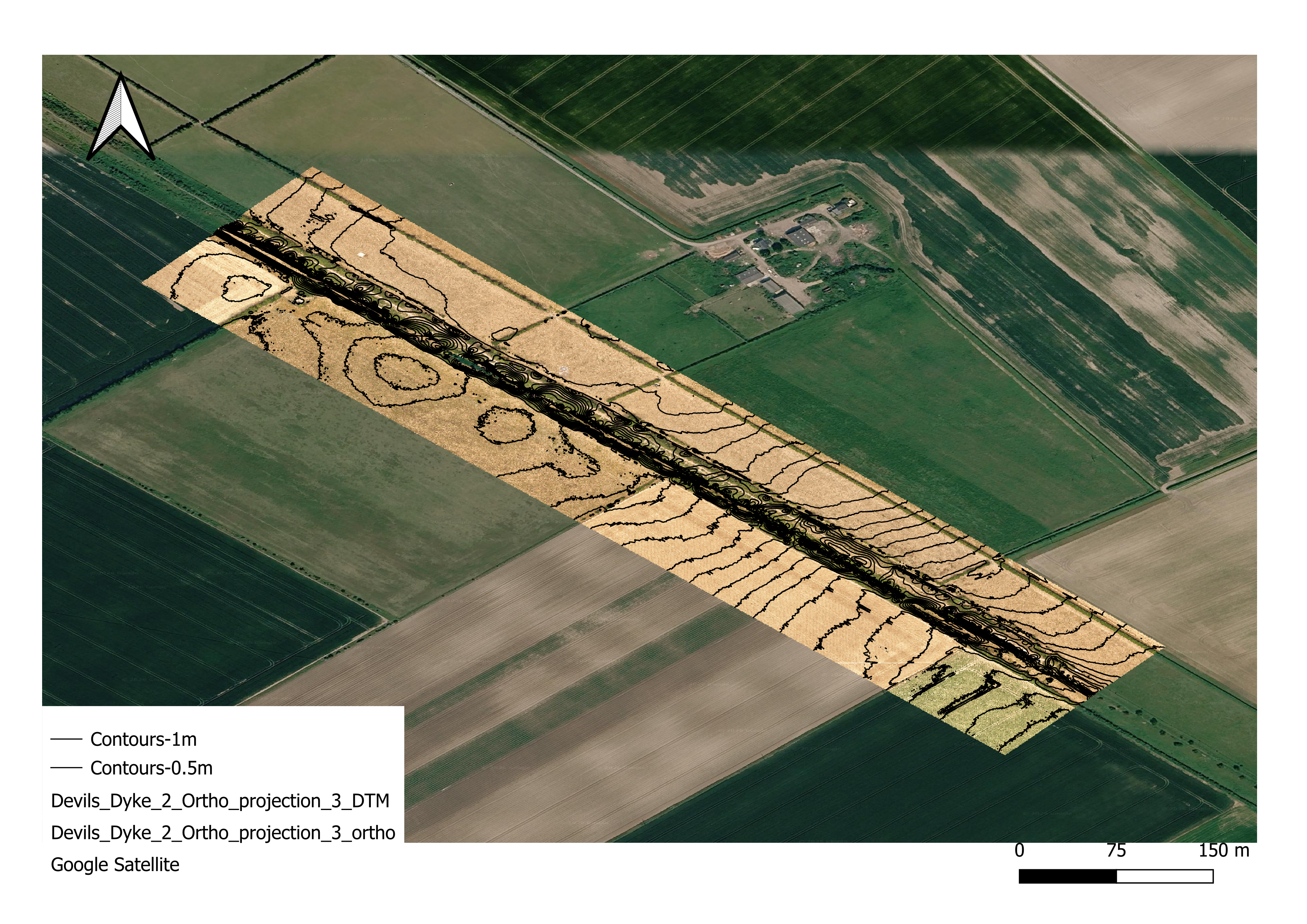
A 2D orthophoto and digital terrain model (DTM) was output by Reality Capture as GeoTIFF files. The orthophoto GeoTIFF was used to create a layer in QGIS, then contour lines were extracted from the DTM to create another layer using a QGIS built-in function and over-layed onto the orthophoto image. A Google Maps base-layer was added for context and to indicate the precision of the raw drone survey images & photogrammetry processing.
Drone survey deliverable output orthophoto plus contour lines
3D model animation
An animation of the 3D model was output by Reality Capture as a WMV file and converted to M4V (MP4) using VLC.

If you are interested in any of our services click here to email us
Airborne Insights is a trading name of Logistics Partners Consultancy Limited