
Georgian residence survey
Objective and outcome of the task
The task was to survey the exterior and interior of a Georgian building for a property surveying, management, sales & development company working on behalf of a local government organisation owner and custodian. The property had been originally constructed as a private mansion and park for a local family, but had been acquired into the local city council's property portfolio and subsequently converted into combined use as a public library, child care clinic, small business offices and council employee residential appartments. The current owner wanted to understand the construction & state of the building for maintenance & repair planning.
The deliverables for the task were a geo-referenced internal & external point cloud from which 2D elevation and plan drawings (with accurate dimensions) could be derived and a 3D model with high resolution image texturing to aid with assessment of the condition of the roof tiling, rendering/paintwork, glazing, and stone-, brick- & wood-work .
Airborne Insights was engaged by Inview Assets (https://inviewassets.co.uk) to provide additional drone flying capacity for the gathering of external images, assist as a ground observer, assist with the internal Lidar scanning and assist with GCP data measurement.
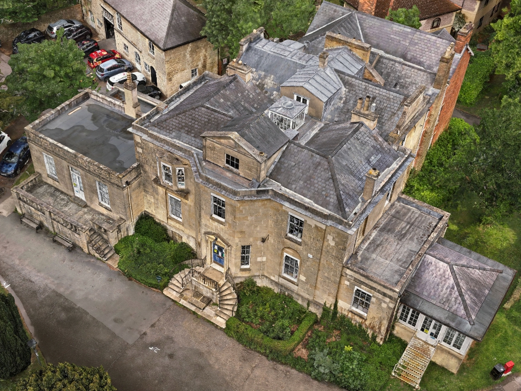
General view of the Georgian building & site under survey.
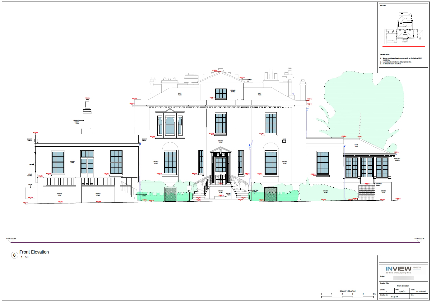
Front elevation view derived from point cloud processing.
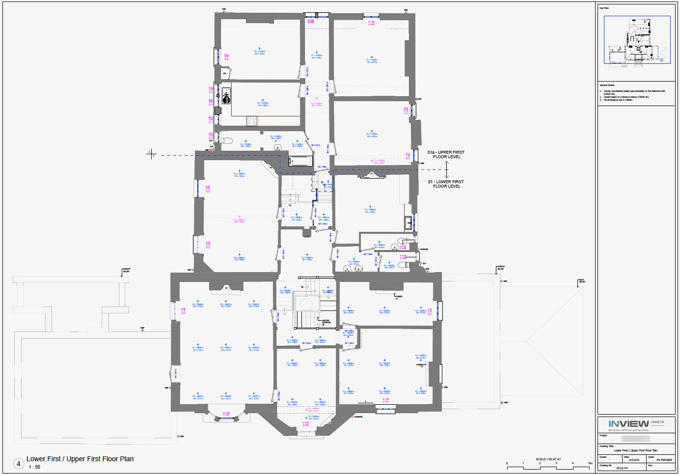
Combined internal & external plan view derived from point cloud processing.
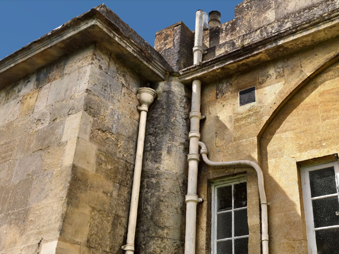
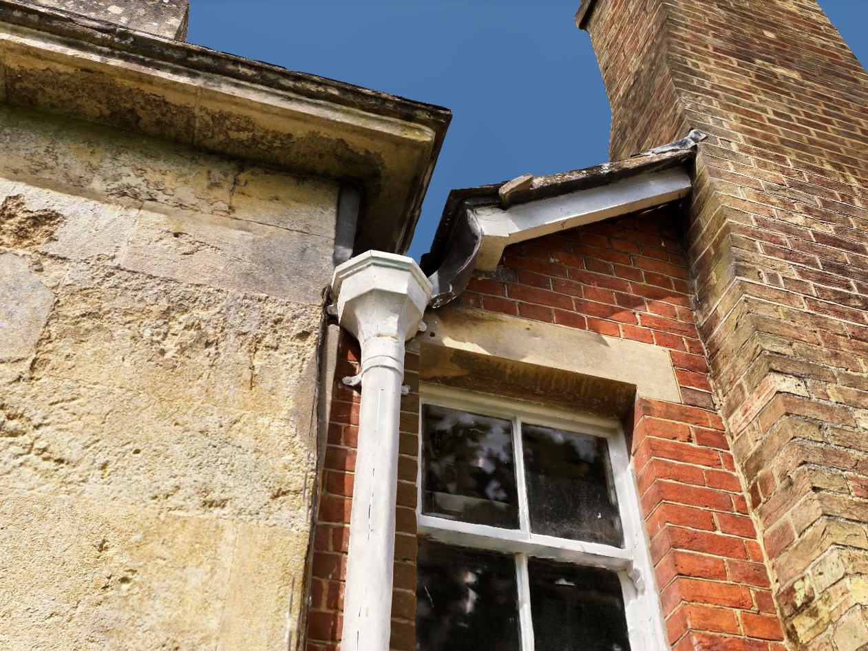
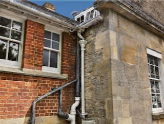
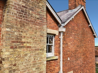
Close-up 3D model views showing stonework, brickwork, guttering & downpipes, woodwork, glazing, lead flashing, sofits and roof fascias.
Geo-referencing
Ground Control Points (GCPs) were marked and coordinate & height data measured using a GNSS RTK rover at several times during both site days.
How the data was gathered and processed
The external imaging was completed by a DJI M300 and two DJI M3E drones. The M300 with P1 camera was flown on a preplanned autonomous flight over the building at 50-60m using an ortho mission on several parallel and perpendicular flight paths to gather nadir view images of the site and building. The M3Es were then flown at 1-3m separation from the building to capture the close, high resolution images of the building fabric (i.e. the roof tiling, stonework, brickwork, woodwork and glazing).
The M3Es were flown over 1 & a half days with a initial model generated using Reality Capture overnight to understand where more high resolutons images needed to be gathered on the second morning to ensure the required level of 3D model texture detail across the external elevations and roof.
Laser scanning of the front elevation was started on the first morning moving to the interior of the building in the first afternoon and continuing interior scanning on the second day.
The site was challenging because of the proximity of large trees to the sides and rear of the building and access of uninvolved persons to parts of the site. To achieve this an observer was deployed to assist the remote pilots safely capture images from positions between the teees and the building and managing safe access to operating areas open to uninvolved persons.
Reality Capture and MYX Robotics One3D cloud were used to process the images and laser scans initial results, and deliverable point clouds & models for downstream processing into architectural drawings.
Ortho mission
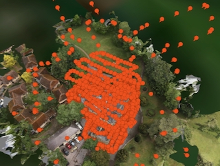
The ortho mission image capture points can be made out in this screenshot as those extending beyond the immediate vicintiy of the building.
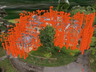
Close external imaging
The close, high resolution images of the building fabric were captured at the remaining image capture points indicated in this screenshot.
All images courtesy of Inview Assets Ltd.


If you are interested in any of our services click here to email us
Airborne Insights is a trading name of Logistics Partners Consultancy Limited